
Geo-data specialist company Fugro this summer completed field work on a hydrographic survey project for the National Oceanic and Atmospheric Administration (NOAA) to update nautical charts off the northern coast of Unimak Island, Alaska.
The island, located in the Bering Sea, supports multiple fisheries, a major transit route, and at sea cargo transfers. Existing charts in the region don’t meet current navigational needs, with data in some cases predating the 1940s.
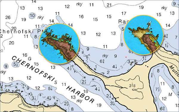
Netherlands-based Fugro is helping NOAA address the data deficiencies with new, high resolution bathymetry over five sites totaling about 1700 km2. The Geo-data will be used to produce new nautical charts, making marine navigation safer and more efficient.
The new bathymetry was acquired from two multibeam-echosounder-equipped survey vessels, one focused on nearshore waters, the other on deeper waters located farther offshore. To plan the more challenging nearshore surveys, Fugro used its SatRecon service, which combines satellite imagery and proprietary processing techniques for the identification of potential unmapped hazards like shipwrecks and rock outcrops.
In addition to improving the safety of crew, equipment and the environment, identifying the hazards also increased Geo-data acquisition efficiency, allowing crews to survey the nearshore waters at a faster rate than would have otherwise been possible, according to Fugro.
“It was great to work for NOAA in Alaska this summer, and we are really happy with the way our SatRecon service helped progress the nearshore survey operations,” said Mark MacDonald, the hydrography director for Fugro in the Americas.
“Since the mid-1970s, Fugro has been successfully mapping the seafloor in the state, including many years of nautical charting updates for NOAA, starting in 1998,” he continued. “We understand the operational challenges associated with working in remote parts of Alaska, and were pleased to apply innovative solutions on this project, unlocking insights from Geo data for a safer and more sustainable ocean economy.”